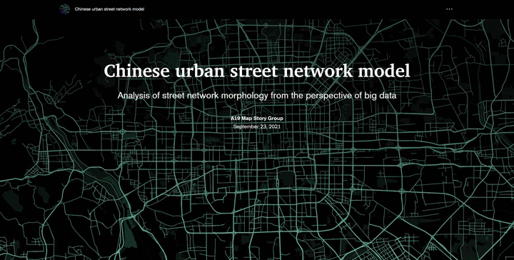
Understanding Chinese Street Network Patterns
Sep 23, 2021· ·
1 min read
·
1 min read
Yuankun Wang (王元坤)
Overview
In order to better understand urban form, this study qualitatively and quantitatively analyzed the spatial patterns of street network patterns in 1,321 cities in China, and explored the main factors affecting street network patterns in combination with land cover types and topographic data. The results of this study won the 1st prize in Esri-Cup Chinese College Students GIS Software Development Contest.
My Role
I was the team leader, responsible for the overall planning of the project. I was involved in data preprocessing, qualitative and quantitative calculations of the street network, and thematic and graphic production.
Research Content
- The street network patterns across 1,321 built-up areas in China were mapped and analyzed using orientation entropy and rose diagrams.
- The spatial autoregressive models were employed to quantitatively understand the relationship between street network patterns and various landscape factors.
- An interactive visualization of analysis results was implemented using ArcGIS StoryMaps.